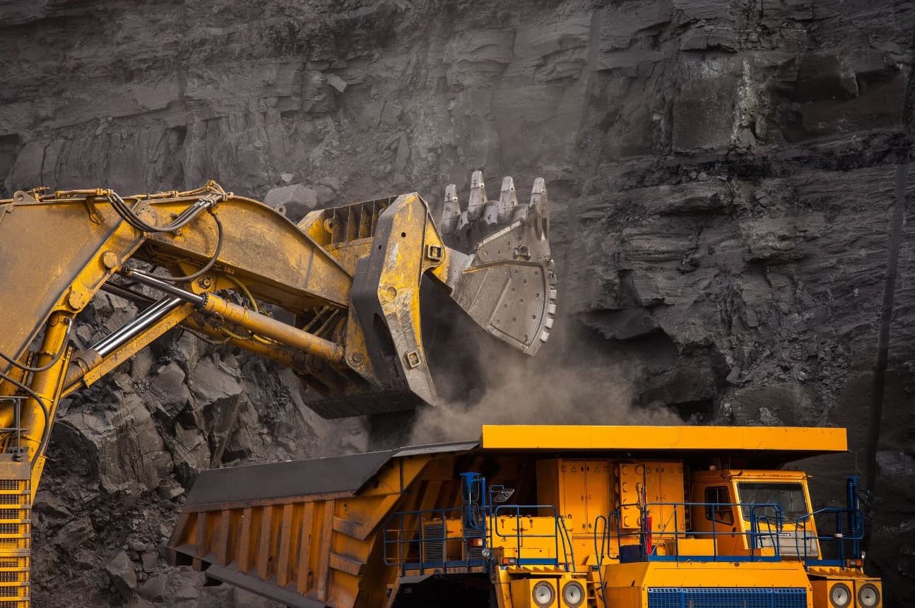
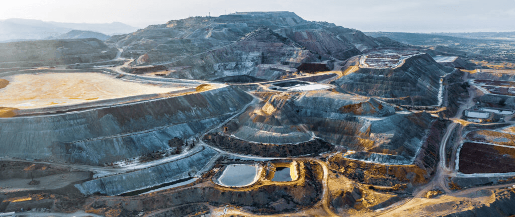
GeoXtra unifies geotechnical, hydrogeological, and hydrological data across the life of an earth structure. The engineers, contractors, and operators who design, build, and run mines and infrastructures all work from one verified source of truth, and catch problems and manage risks during design, construction, operation and closure before they become catastrophes.
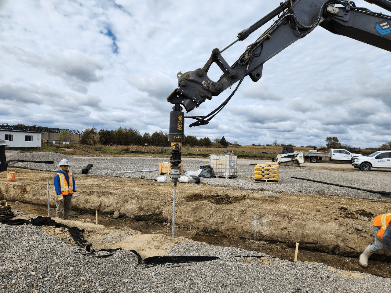
Spend less time compiling field, lab, and design data, and more time engineering. Confirm that what gets built matches what you designed, and defend that record.
Capture clean QA/QC records the moment work happens. Hand over as-built proof that stands up, without the paperwork drag.
One verified source across every facility, from foundation to closure. See risk before it becomes an incident, and keep the safety case current.
Design intent captured at the start is what you check against for the next forty years.
Boreholes, cone penetration testing and the archive become the ground model everything later is checked against.
Criteria, target torques, trigger levels and the parameter set become checks, each linked to the test that produced it.
Installation and test records at volume, each checked against its criterion as it arrives.
Instruments read against trigger levels and against the construction history that explains the response. Exceedances raise a response, and the response is recorded.
The closure dossier assembles from the record built since the first borehole, not from a team that wasn’t there.
Handover between engineers of record moves the reasoning, not just the files.
Capture field data from site investigation to construction. Manual entry or direct instrument reads, built for real site conditions.
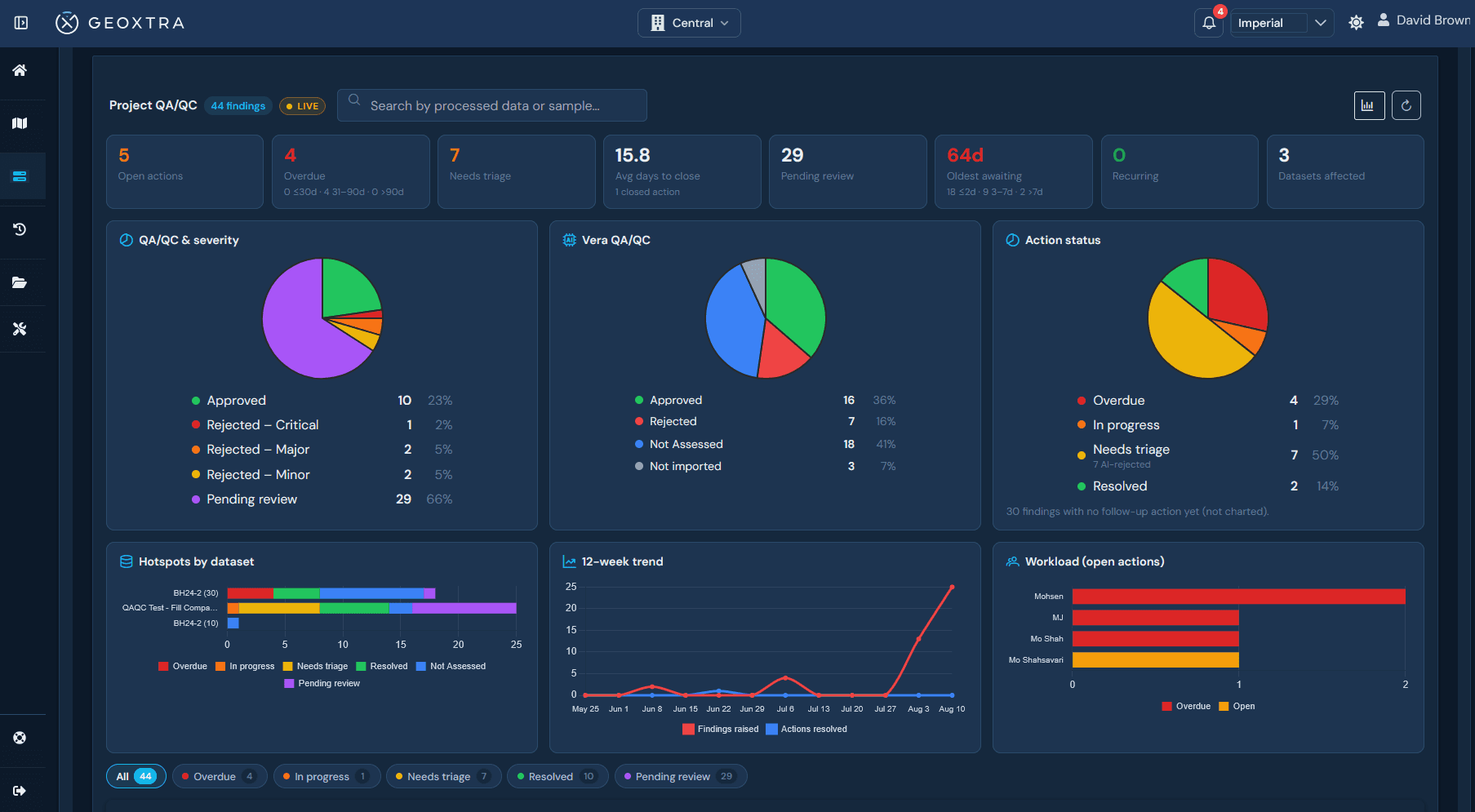
Automated quality checks at point of entry. Minimize errors, eliminate guesswork, prevent costly compliance failures.
Unify historical, design, and construction data. Centralized access for all stakeholders with AI-driven cross-domain insights.
OCR for handwritten records, automated compliance checks, and intelligent extraction from design specs and industry codes.
Visual facility health monitoring with real-time dashboards. Automated alerts and trend analysis for proactive intervention.
Generate field and as-built reports in minutes. Compliant with CDA, GISTM, and regional standards. No manual digitization.
Vera reads your documents, checks your data, and drafts your reports. Each agent handles a different part of the work, and they all draw on the same verified source of truth.
Watches instrument and field data as it arrives, and surfaces the readings that need a human eye.
Pulls data out of drawings, specifications, lab certificates, and handwritten field records. No re-keying.
Checks incoming data against design intent and project standards at the point of capture.
Checks the record against the standards and regulatory criteria your engineer configured, and cites the clause behind every check.
Tracks whether operations, maintenance and surveillance activities happened as the manual requires, and shows what is outstanding and since when.
Turns site-wide data into early risk signals for operators, so issues surface before they become incidents.
Vera assists and empowers your engineers. It never replaces them.
Your data already exists. It's spread across a monitoring platform, a lab portal, a document server, a borehole database and a stack of field sheets. We hold all five together and keep the links between them.
Specifications, drawings, criteria, design notes and the archive, linked to the structure they govern.
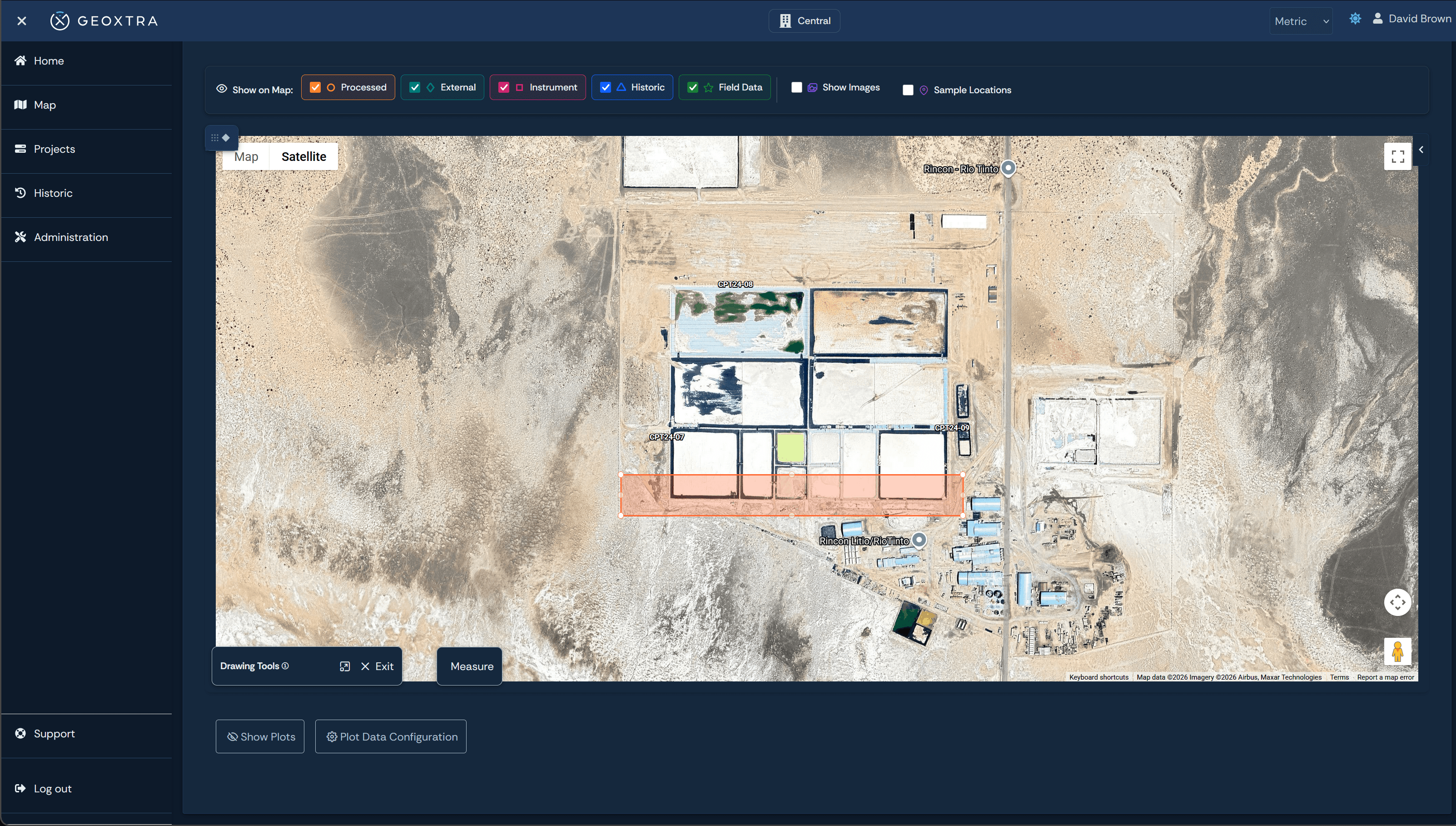
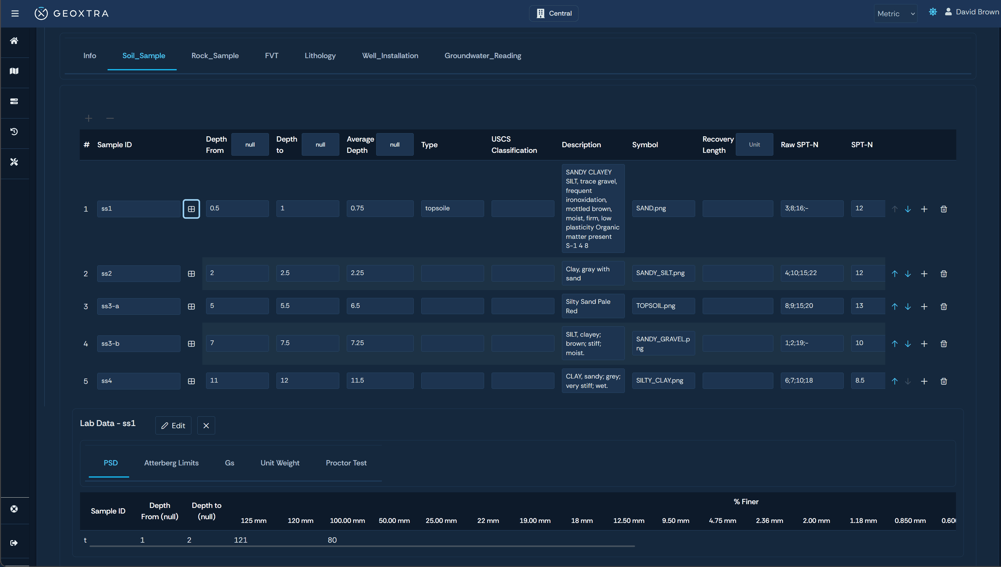
Boreholes, cone penetration testing and groundwater, imported through AGS4 and DIGGS rather than scraped out of a PDF.
Pile installation logs, compaction tests, inspections and photographs, captured at the point of work.
Classification, strength, moisture and density, tied to the material and the location it came from.
Piezometers, Torque indicators, inclinometers, prisms and flow, read from the monitoring systems you already run, against the trigger levels your engineer set.
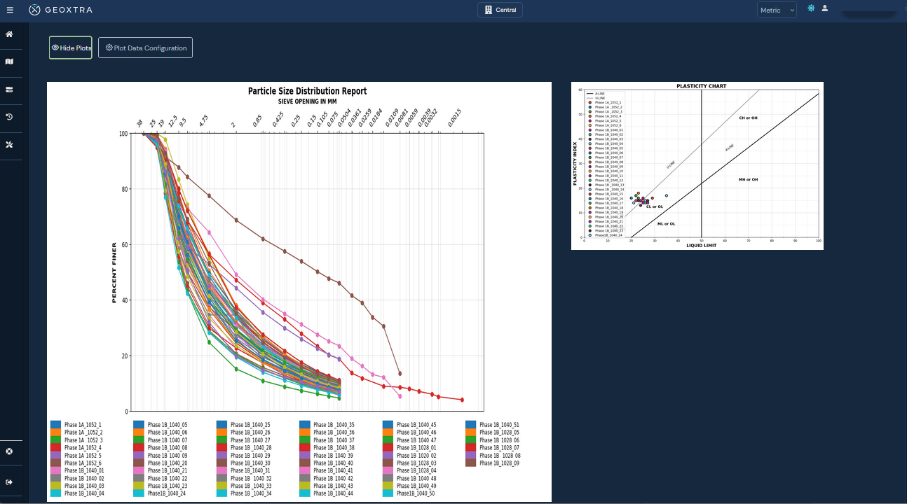
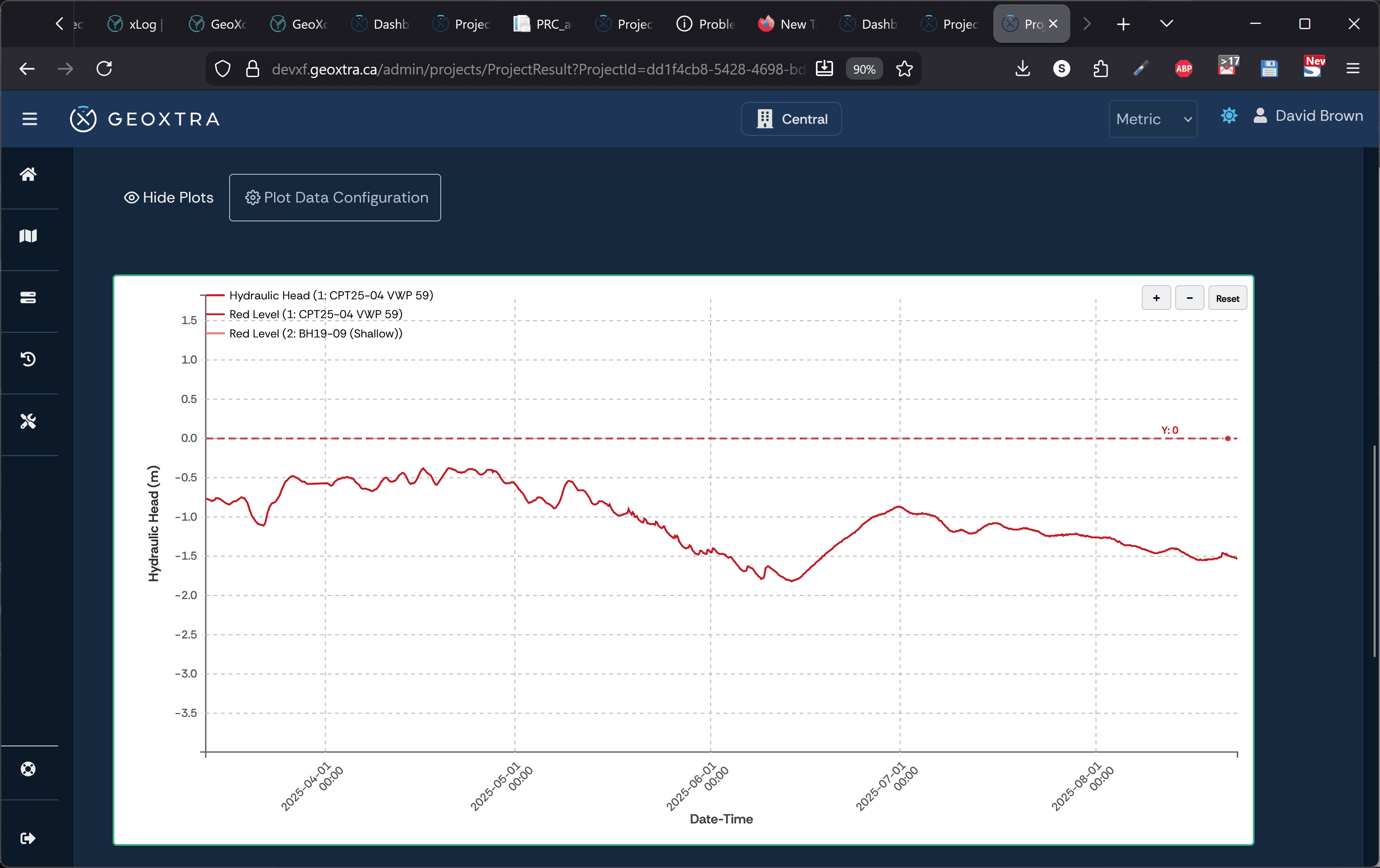
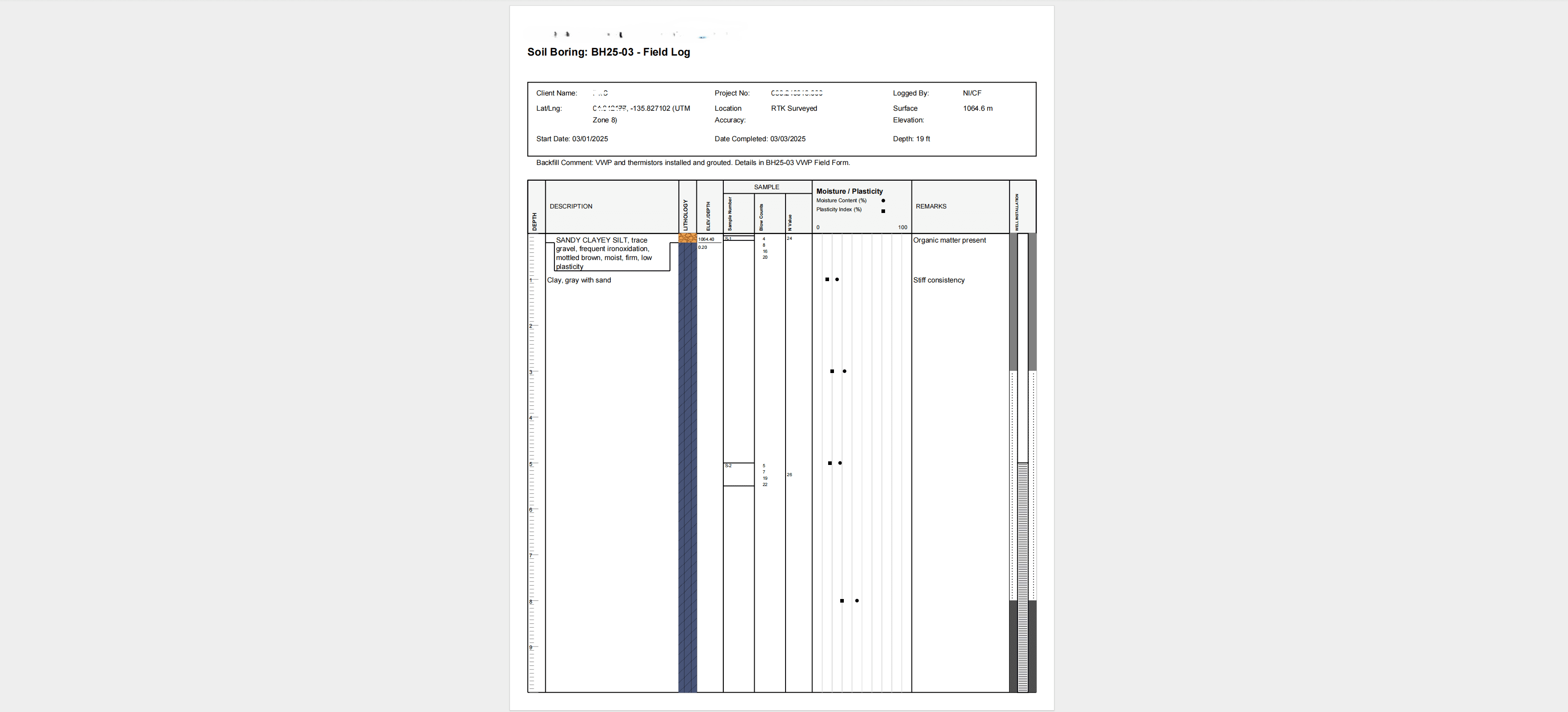
Explore the platform's intuitive interface
from real-time dashboards to automated quality reporting.
Anyone with money on the job eventually asks the same question, and asks it at the worst possible time. They want to see what was built, and how you know. A record that carries its own sources answers it in an afternoon instead of a month.
Construction and performance evidence produced on request instead of assembled under deadline.
A contemporaneous, attributed record with the chain of custody intact, which is what settles who knew what, and when.
Evidence for each obligation current between review cycles, mapped requirement by requirement.

Founded by geotechnical engineers with 15+ years of field experience, GeoXtra bridges the gap between data collection and actionable insight. We replace fragmented vendor systems with a unified AI platform, preventing catastrophic failures like Brumadinho and Mount Polley through proactive verification, catching issues during construction, not after failure.